The following is a list of primary hypothetical Interstate Highways that are seen in the Intertropolis & Routeville video game, World of Highways: Interstate Highways, part of the World of Highways franchise, but does not exist in the Intertropolis & Routeville television series or in the real Interstate Highway System.
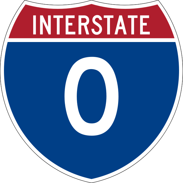
Interstate 0[]
Interstate 0 (I-0, or Interstate Zero) is a hypothetical Interstate Highway that would indicate such part of the Interstate Highway System not existing or not having a chosen route number based on their location they're in in the Interstate Highway grid of numbers and route signage. However, in the World of Highways video game franchise, I-0 would travel south of the Mexico–United States border by paralleling the border and Mexico Federal Highway 2 (MX-2) from the Pacific Ocean in Tijuana, Baja California at MX-1 all the way to the Gulf of Mexico in Matamoros, Tamaulipas at MX-101. Between the Mexican states of Baja California in the west and Tamaulipas in the east, I-0 would run through Sonora, Chihuahua, Coahuila, and Nuevo León. While MX-2 has two segments of its route due to the Rio Grande river (one from MX-1 in Tijuana to Texas Farm to Market Road 1088 (FM 1088) at the Fort Hancock–El Porvenir International Bridge in El Porvenir, Chihuahua, Mexico crossing the border into Fort Hancock, Texas, United States – and another one from TX 349 Spur in Del Rio, Texas, United States from the border crossing at the Del Río–Ciudad Acuña International Bridge into Ciudad Acuña, Coahuila to Playa Lauro Villar at the Gulf of Mexico), I-0 is very continuous.
I-0 is one of the two only hypothetical Interstate Highways that would travel outside of the United States, the other one would be Interstate 100 (I-100), which would travel across Canada.
Interstate 18[]
Interstate 18 (I-18) is a hypothetical east-west Interstate Highway that would travel through Louisiana, Mississippi, Alabama, Georgia, and South Carolina. I-18 would begin its route at a fork off Interstate 49 in Alexandria, Louisiana, travelling eastward to Mississippi, where it encounters the city of Natchez near the state line. I-18 continues east, having an interchange with Interstate 55 in Brookhaven and turning east-southeast from there, to the city of Hattiesburg. After an interchange with Interstate 59 is that city, I-18 turns to the northeast, crossing into Alabama and travelling to the major city of Montgomery. There, it meets with Interstate 65 and resumes its eastward trek into the state of Georgia. In Georgia, I-18 travels along the Fall Line Freeway, connecting Columbus, Macon, and Augusta. I-18 completes its route in Orangeburg, South Carolina, at Interstate 95.
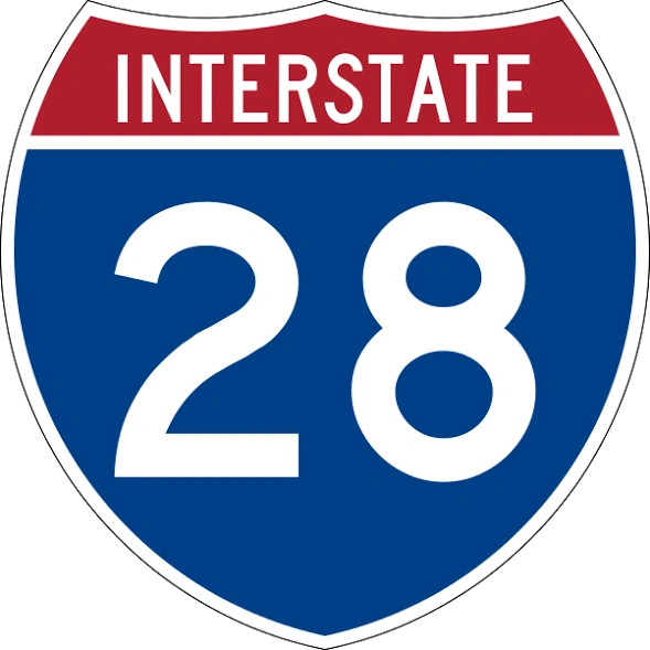
Interstate 28[]
Interstate 28 (I-28) is an east–west Interstate Highway that would travel in the states of Georgia, South Carolina, and North Carolina. I-28 would make its journey starting from Dalton, Georgia at Interstate 75 (I-75) then continues traveling across the mountainous Northern Georgia, then Northeastern Georgia before heading to South Carolina.
In South Carolina, I-28 would travel through the Upstate region, heading to Walhalla, then Pickens as it parallels South Carolina Highway 183 (SC 183). I-28, then continuing east to the northern portions of downtown Greenville. After leaving Greenville, the Interstate would go east again, running concurrently with U.S. Route 29 (US 29) from Greer, then Duncan, Lyman, and Wellford before I-28 and US 29 meets an interchange with I-85. After I-85, I-28 and US 29 has another interchange with I-26, heading to Spartanburg. I-28 and US 29 splits west of downtown Spartanburg, with I-28 heading east passing the southern areas of Spartanburg while US 29 heads northeast to Downtown. I-28 swings east again as it heads towards York and Rock Hill. I-28 continues east to the interchange of I-77. I-28 and I-77 begins running concurrent with each other until after they cross the Catawba River into Fort Mill. While I-77 continues north, I-28 continues east through south of Fort Mill, then heading to North Carolina.
In North Carolina, I-28 would continue east again by traveling in the southeast part of the state. I-28 would pass through rural cities such as Monroe, Wingate, where it intersects US 74 and US 601, Wadesboro, Ellerbe, where it intersects I-73, then Aberdeen. As I-28 approaches to Fayetteville, it interchanges I-95. I-28 continues east twice again, heading to Magnolia, interchanging I-40, then it heads to Jacksonville, intersects US 17. I-28, then turns further southeast to reach its end of journey at Interstate 101 (I-101) near the Atlantic Ocean.
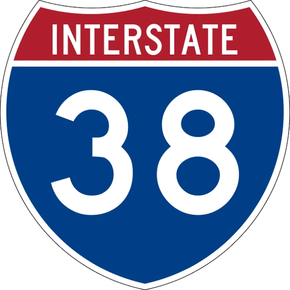
Interstate 38[]
Interstate 38 (I-38) is an east–west Interstate Highway that would locate between Interstate 20 (I-20), I-30, and I-40, travel in the U.S. states of Texas, Arkansas, and Mississippi. In the World of Highways video games, it would be the fourth, last, and easternmost segment of a hypothetical highway known as the South Central Highway, consisting the other three hypothetical Interstates such as I-32, I-34, and I-36. I-38 would begin in Gainesville, Texas at an interchange with I-35 from the end of I-36 to an interchange with I-55 in Grenada, Mississippi. Starting in Gainesville, Texas, I-38 would continue east as it parallels between US 82 and the Oklahoma state line, first heading to Denison at US 69 and US 75. Next, it would pass north of Paris, Texas, to an interchange with US 271. I-38 continues and head to the northeast corner of Texas, where I-30 would come near I-38 and the Interstates, as well as US 82, crosses each other, west of New Boston, before heading to the southern part of Texarkana, on the state line and entering into Arkansas. The interchanges and intersections in the Texarkana area are US 67 and US 59 in Texas, and US 71 and I-49 in Arkansas.
After leaving Texarkana on the Texas–Arkansas state line, I-38 continues to Arkansas then interchanging US 82 northwest of Garland. After that, the Interstate would pass north of Magnolia, intersecting US 371 and US 79. Continuing east, I-38 would head to El Dorado, at interchanges with US 167 and US 63. After leaving El Dorado, it would head to Hamburg at US 425, where U.S. Route 82 overlaps with it which means that I-38 would cross US 82. I-38 would head to south of Lake Village, at US 65 and US 278 and crossing US 82 again. After that, it crosses over a C-shaped lake called Lake Chicot and then crosses the Mississippi River into the state of Mississippi.
Next town is Greenville then Leland, meeting at an interchange with US 61/US 278. Next interchange is at US 49W in Indianola, followed by US 49E in Shellmound. Interstate 38, as well as the South Central Highway, would terminate at an interchange with Interstate 55 west of Grenada.
    |
|---|
| Signed | 1 • 2 • 3 • 4 • 5 • 7 • 8 • 9 • 10 • 11 • 12 • 14 • 15 • 16 • 17 • 18 • 19 • 20 • 21 • 22 • 23 • 24 • 25 • 26 • 27 • 29 • 30 • 35 • 37 • 39 • 40 • 41 • 42 • 43 • 44 • 45 • 47 • 48 • 49 • 50 • 53 • 55 • 57 • 59 • 60 • 64 • 65 • 66 • 68 • 69 • 70 • 71 • 72 • 73 • 74 • 75 • 76 (CO–NE • OH–NJ) • 77 • 78 • 79 • 80 • 81 • 82 • 83 • 84 (OR–UT • PA–MA) • 85 • 86 (ID • PA–NY) • 87 (NC • NY) • 88 (IL • NY) • 89 • 90 • 91 • 92 • 93 • 94 • 95 • 96 • 97 • 98 • 99 • 101 • H-1 • H-2 • H-3 | ||||||||||
|---|---|---|---|---|---|---|---|---|---|---|---|
| Unsigned | A-1 • A-2 • A-3 • A-4 • PR-1 • PR-2 • PR-3 | ||||||||||
|---|---|---|---|---|---|---|---|---|---|---|---|
| Lists | Primary • Auxiliary • Intrastate • Suffixed • Business • Future • Former • Hypothetical (Auxiliary • Business) | ||||||||||
|---|---|---|---|---|---|---|---|---|---|---|---|
| Other | Standards • Intrastate • Temporary • Bypassed • Gaps • Tolled | ||||||||||
|---|---|---|---|---|---|---|---|---|---|---|---|
| Major Interstates are written in bold. |
|---|